
Thermik
Your flights in 3D over real terrain · offline
IGC · GPX · 3D replay · Logbook · Share videos
Your flights in 3D over real terrain · offline
IGC · GPX · 3D replay · Logbook · Share videos
Your flight over the real terrain, coloured by climb rate, with the logbook behind it.
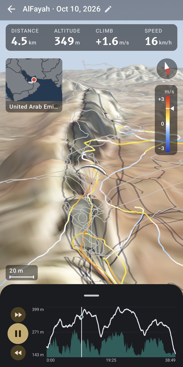
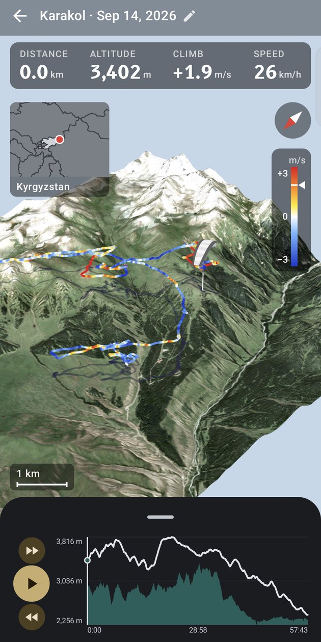
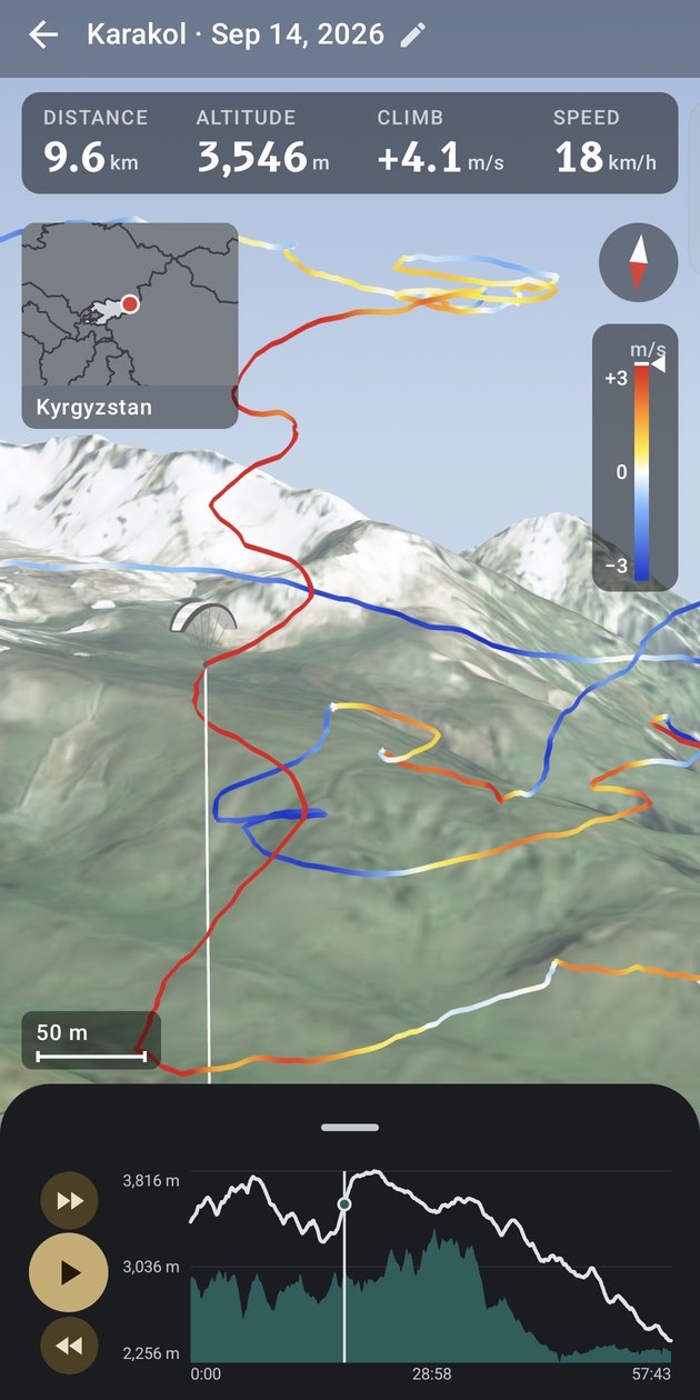
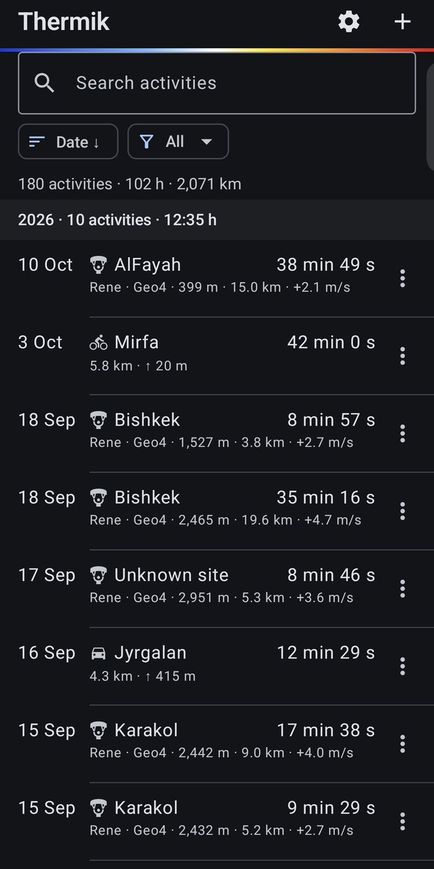
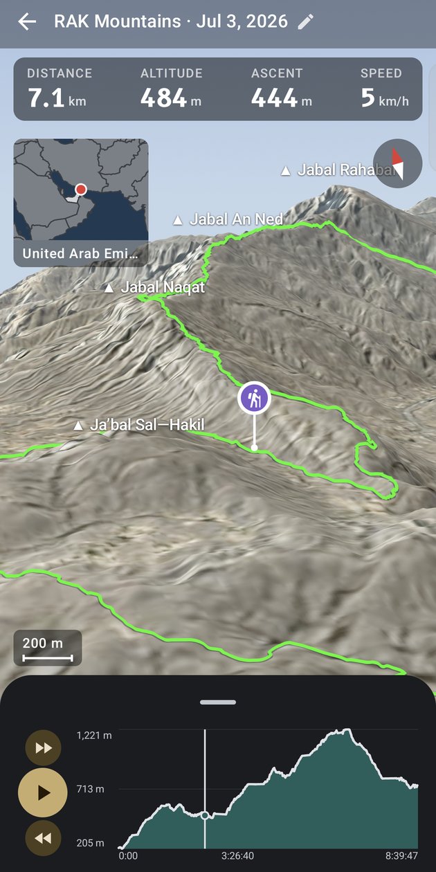
Terrain and aerial photos around your flight, downloaded once, then fully offline. Orbit, zoom, or ride along in chase view and look around while it plays.
The track shows every thermal and sink at a glance: climb rate, altitude, speed or steepness, with a legend.
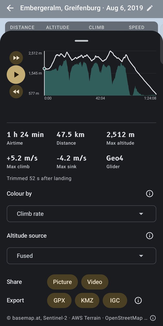
IGC straight from the Skytraxx over USB, plus GPX, KML, KMZ and ZIP. Your files are never changed.
Barometric shape anchored to GPS, so the pilot is never underground. Choose fused, GPS or baro.
Sites, gliders, pilots, notes; search and sort. Launch and landing detected, short recordings tucked away.
Recognised automatically, drawn on the terrain, with their own filter, replay speed and a pin that walks the route.
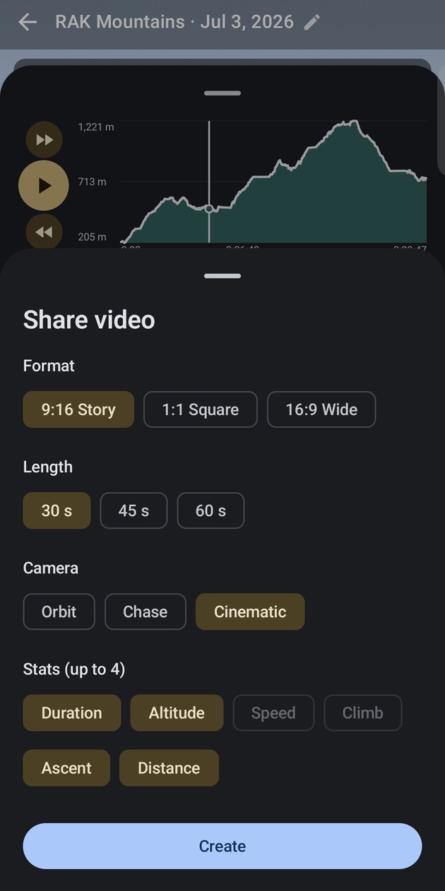
9:16, square or wide; 30, 45 or 60 seconds; Orbit, Chase or Cinematic camera; the stats you choose. Ready for WhatsApp.
GPX with true altitude, KMZ for Google Earth, and the original IGC byte for byte (signature intact).
One ZIP with logbook, edits, settings and every flight file. New phone in a minute.
Built by a pilot who wanted to see last Sunday's thermals again, without an account or a subscription.